

A public ceremony is planned for October 28, 2025 (invitation) at 2 pm.
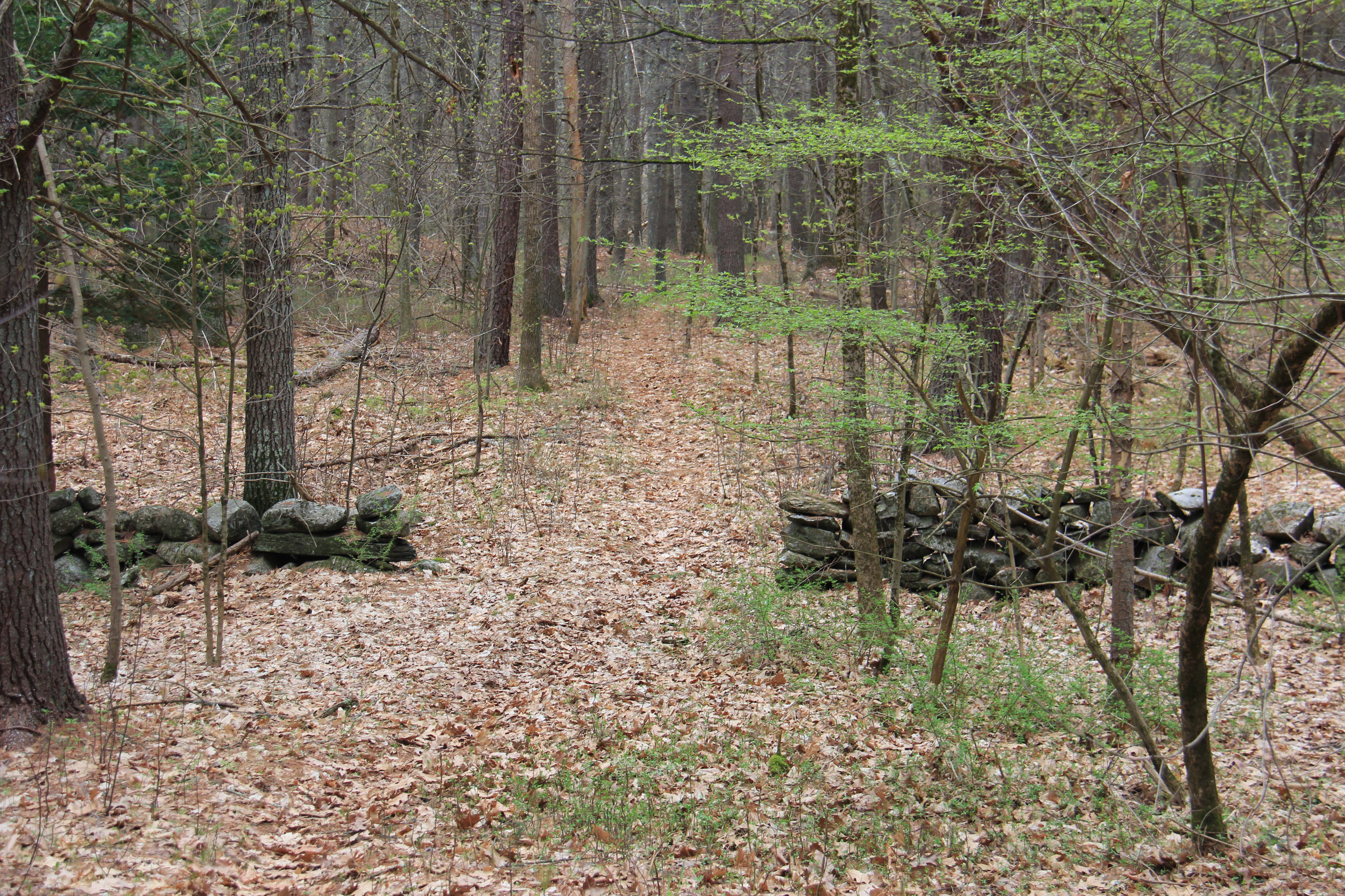
Welcome to the Trails at Brewster’s Meadow. This property is owned by the Water Supply District of Acton for drinking water supply protection purposes. Public access is allowed to the trail network through a unique partnership with the Town of Acton and the Sudbury Valley Trustees. Given the water supply sited on this property, we emphasize the importance of not bringing your domesticated animals as you enjoy the trail network.
Parking and Accessing the Trails:
Supporting climate resiliency is one of the attributes of this property. It is uniquely positioned on the Bruce Freeman Rail Trail and the sidewalks on Main Street. No parking area is currently designated on the property and those coming from outside the neighborhood are encouraged to park at Town Hall or the Veterans’ Field complex. Each is a short walk from the access trails on Main Street.
In addition to the various water supply-specific benefits this parcel offers, it includes one of the last remaining unpaved segments of the Isaac Davis Trail still in existence (~2,200 feet), as well as areas of moderate to high archeological potential. Because the property is comprised of a mix of wetlands, multi-aged forest, open meadow, and two potential vernal pools, it affords the community a variety of benefits including:
- Carbon Sequestration
The forest, meadow, and wetland complexes exist as powerful carbon sinks – systems that absorb atmospheric carbon dioxide. These ecosystems naturally absorb carbon dioxide through photosynthesis, storing carbon in biomass (such as plant tissues and root systems) and soil. Wetlands are especially effective in storing carbon by trapping organic material in anaerobic soils that slow decomposition. Given the large size of the land and its well-preserved state, the potential carbon sequestration (or storage) of the land will be a serious contributor to Acton’s goal of net-zero carbon emissions by the year 2030.
- Inland Flood Mitigation / Groundwater Recharge
549 Main Street possesses a unique ability to mitigate inland flooding through its natural hydrological features. This property’s wetlands and wooded swamps naturally absorb and store stormwater runoff, reducing peak runoff and lowering flood risk downstream of Nashoba Brook, helping to protect nearby infrastructure from damage. In addition, large areas of impervious surfaces – such as roofs, roadways, and parking lots – can cause heavy stormwater runoff leading to increased, and more severe, flood events. By preserving the land with its natural vegetation, heavy rain events can more easily infiltrate the forest and meadow soils, replenishing aquifers and maintaining consistent stream flow. The top organic layer also helps remove contaminants from water that percolates through this layer, helping to improve the water quality of groundwater sources.
- Water Supply and Groundwater Protection
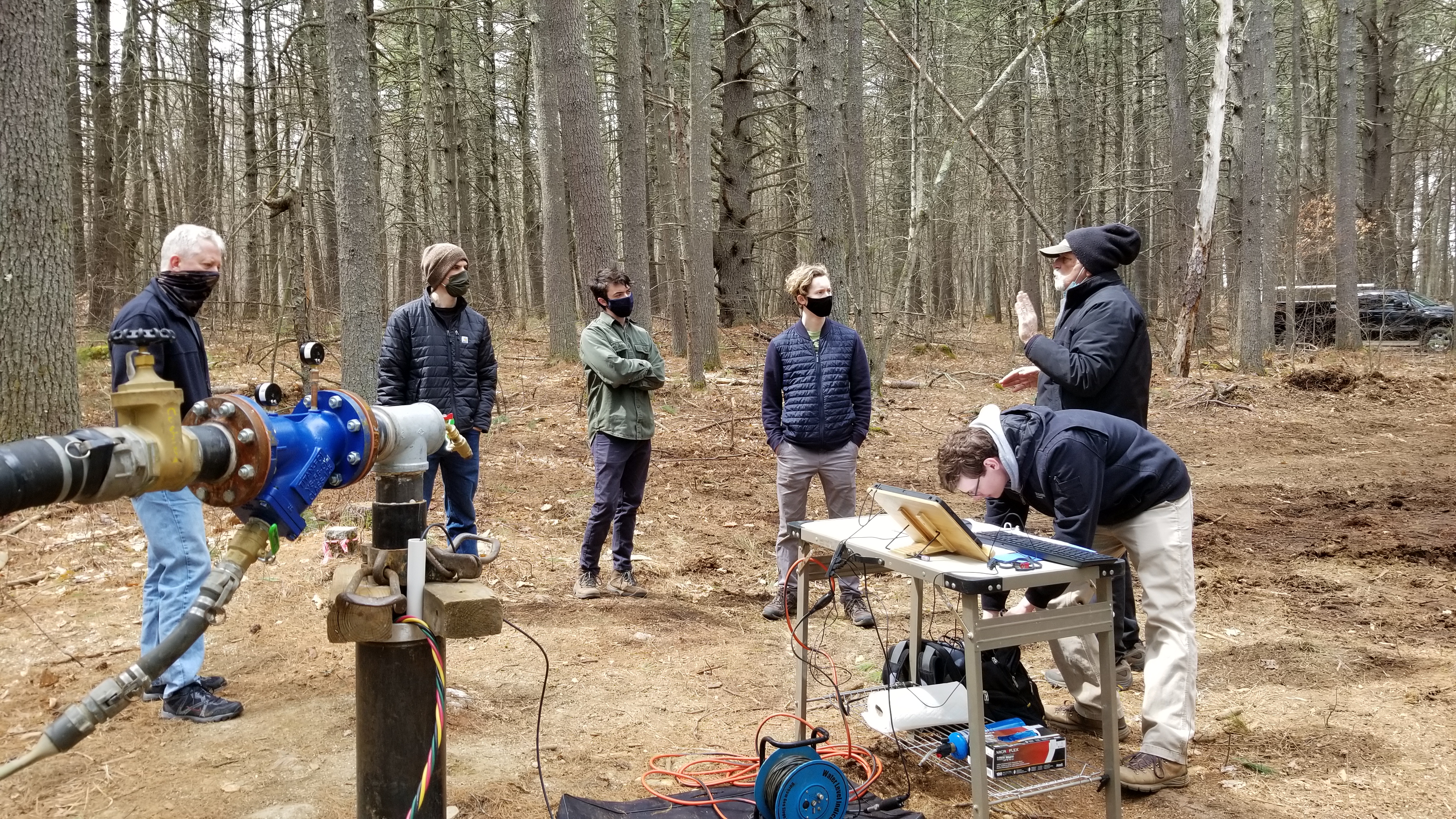
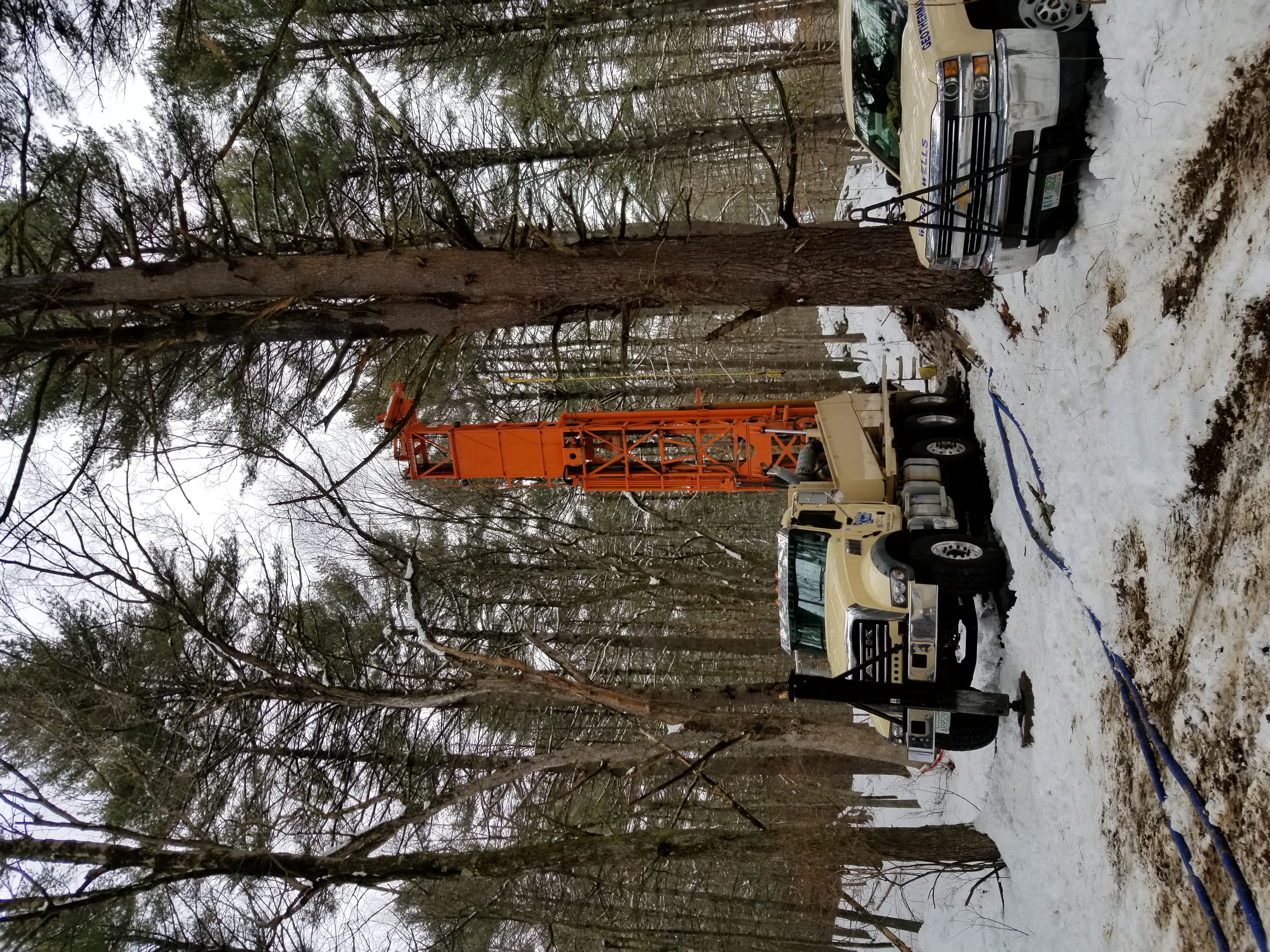
With the entirety of this property situated within the Conant Wellfield’s Zone area (Zone of direct groundwater contribution to public wells) preserving this land helps preserve natural hydrological conditions for a sustainable water supply, as well as safeguarding the water quality that recharges Acton’s drinking water sources. The siting of two deep bedrock wells on the property also helps to diversify Acton’s drinking water supply and be more drought resilient.
For final permitting and construction of Wells D and E to proceed and for potential additional future wells on the property, the District needed to own 549 Main Street. To that end, at the Annual District meeting on March 15, 2023, voters appropriated $4.9M, a below market value sale facilitated by the Conant family, to acquire the property. Shortly thereafter, voters unanimously approved Article 10 at the Town of Acton’s Annual Meeting on May 1, 2023; this article authorized the Select Board to acquire a Conservation Restriction (CR) from the District on the property utilizing $1.0M from the Community Preservation Act Open Space Set aside fund. The property closing occurred on December 7, 2023 and the CR closing occurred on July 18, 2024.
- Open Space Preservation
This land was identified as an ideal parcel for open space preservation based on several factors – its unique location relative to public water supplies and proximity to other protected land and recreational trails, its rare ecology and potential contribution to climate resilience and sustainability, and its historical significance. By protecting this land from development and the introduction of impervious surfaces that would fragment critical habitat and undermine the many benefits this land already provides, it will ensure that future generations have access to undeveloped green space in an increasingly developed environment while the natural landscape of the forest, meadow, and wetlands continue to contribute to community character. The parcel’s visibility from both Main Street and Brook Street reinforces its role as a scenic, ecological, and community landmark. Through permanent conservation and land management, the Town is safeguarding natural resources and assets, protecting water resources, and maintaining the rural character that helps define Acton.
- Passive Recreation
The trail network at 549 Main Street offers a valuable addition to passive recreation in the community. Hiking, cross-country skiing, snowshoeing, hunting, trapping, nature observation, nature and educational walks and outings, outdoor educational activities, including historical reenactments, and other non-motorized outdoor recreational and educational activities are envisioned. What was once private land is now permanently protected and open to the public, providing access to a quiet and scenic location that includes forested paths, an open meadow, and a segment of the historic Isaac Davis Trail. Its connection to the already expansive Bruce Freeman Rail Trail makes it easily accessible, creating a seamless connection between a regional trail system and other local conservation land.
- Cooling Shade
The forested area of 549 Main Street provides essential cooling benefits through its mature canopy cover. Trees naturally regulate temperature by shading the ground, reducing heat absorption, and releasing moisture into the air through transpiration. By maintaining this parcel in its natural state, extreme heat events that contribute to urban heat islands (areas of land that are densely populated and developed, contributing to excessive heat capture) can be partially mitigated. Preserving land like 549 Main Street will regulate the detrimental effects of urban heat sprawl and can act as a sanctuary from extreme heat events for both wildlife and the community.
- Supporting Biodiversity / Priority Habitat of Rare Species
The diverse range of ecological settings create habitats that support a range of plant and animal species. One of the most notable features of biodiversity on the property is the eastern portion of the site which is designated as a Natural Heritage and Endangered Species Program (NHESP) priority habitat for the Northern Long-Eared Bat.
Another rare feature of 549 Main Street is the meadow which can be seen from Brook Street. Meadows are quickly disappearing from the State of Massachusetts, as they require persistent attention to prevent encroachment from surrounding woodlands and periodic mowing. Bird houses have been placed throughout the meadow to enhance bird habitat – while fallen and dead trees, encroaching trees, thick shrubs and brush will be removed to improve the open field habitat for native vegetation and wildlife (especially for snakes).
There are also two potential vernal pools on the property which are unique ecosystems that act as temporary wetlands that fill and store water in the spring and dry out in the late summer and fall. These vernal pools are especially important for amphibians like frogs and salamanders which require isolation from fish for their safe development.
- Preserving the Past
Prior to colonial settlement, Indigenous peoples likely used the land including the Nashoba Indians. In the mid-1600s, the property and surrounding area was part of “Concord Village” owned by the Town of Concord and used for grazing of livestock. In 1733, John Lane Davis (grandfather of Captain Isaac Davis) purchased Lot 19 of Concord Village which included the northern part of the property and subsequently purchased the southern portion and other lands. The 549 Main St property remained in the Davis-Conant family for the next seven generations as part of a much larger farm. The homestead for the farm built in 1793 by Abel Conant and wife Abigail Davis still stands at 562 Main St.
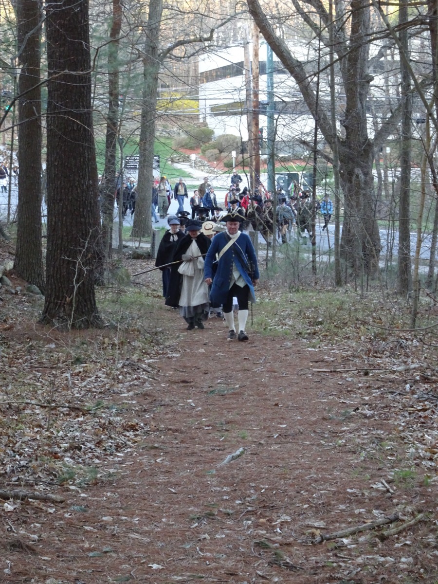
When the Town of Acton was incorporated in 1735, the road to Concord cut from west to east across the property. On this road on April 19, 1775, Captain Isaac Davis and the Acton Minutemen marched to engage the British regulars in battle at the Old North Bridge in Concord which marked the beginning of the revolutionary war. This property has the largest remaining unpaved section of that line of march which is now called the Isaac Davis Trail.
The Davis and Conant families used the property for farming, grazing of livestock, and wood lots. When Luther Conant’s dairy farm ceased operation in 1922, the property was mostly devoid of trees, and many fields became fallow and began to reforest. From 1959 to 2023 Brewster Conant and his family managed the forests and continued to cut and maintain the beautiful fields and gardens in the northwest corner of the property. Those fields are now being preserved in perpetuity as “Brewster’s Meadow” as a living monument to the rural and agricultural history of early Acton.
Future management of the Isaac Davis Trail and surrounding landscape will ensure that its historical integrity is maintained. No alterations or vehicular access is planned, allowing the trail to remain in its current natural state. Public access has been expanded through trail connectivity, linking the Isaac Davis Trail to the regional network of the Bruce Freeman Rail Trail and beyond.
 Figure 1. Photograph (circa 1920) from the 171 Great Road looking to the west (up Brook Street) to the 549 Main St property, showing the railroad, Nashoba Brook, the sandpit (now an ephemeral pond) Brewster’s Meadow, and the Conant homestead at 562 Main St. (Acton Historical Society photo G.P. 71.2.1 5)
 Figure 2. Arthur F. Davis Painting (circa 1915) view to west to the Conant homestead at 562 Main St from the east end of Brewster’s meadow on the 549 Main St property. (Photo by B Conant Jr.)
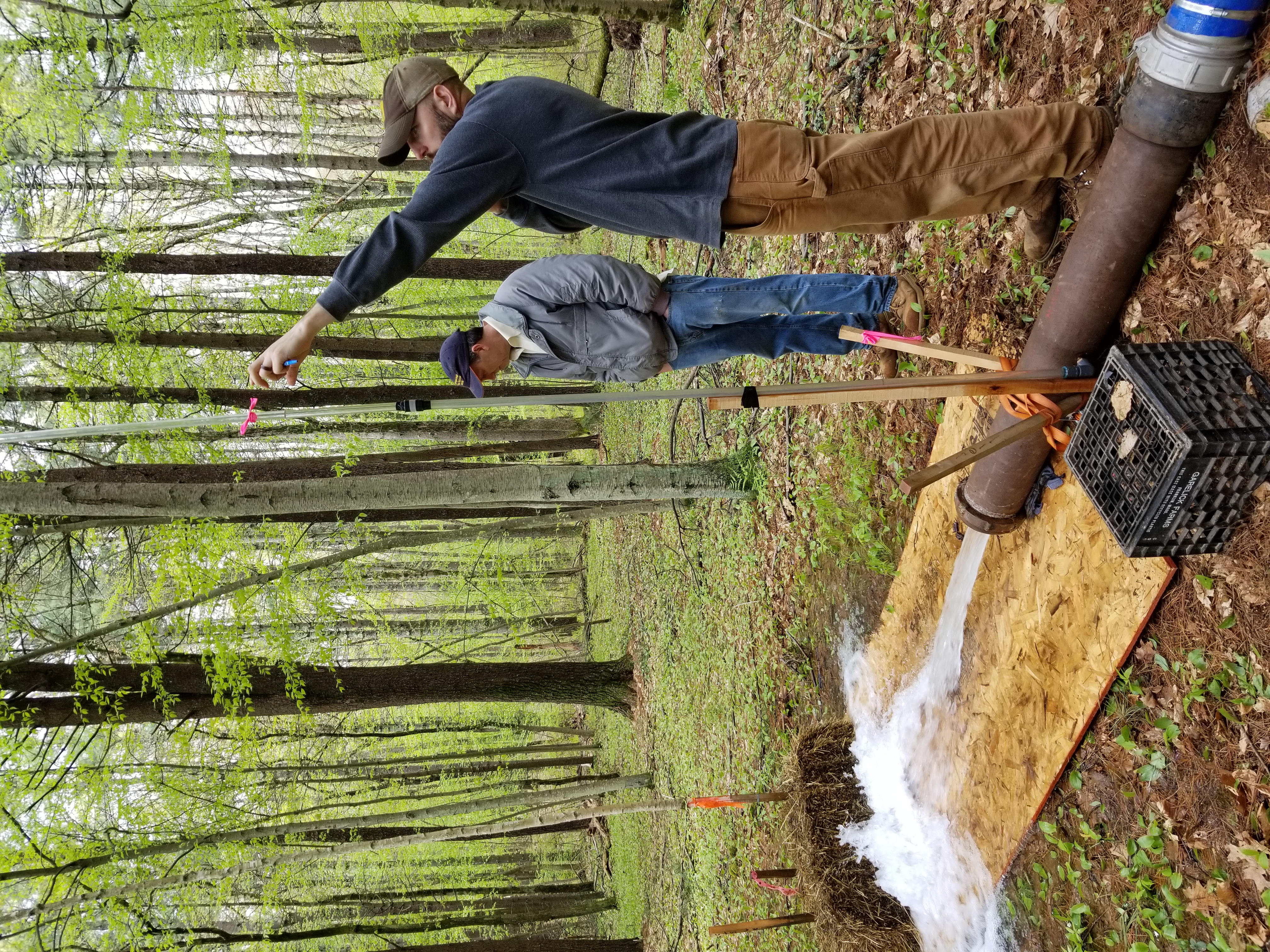
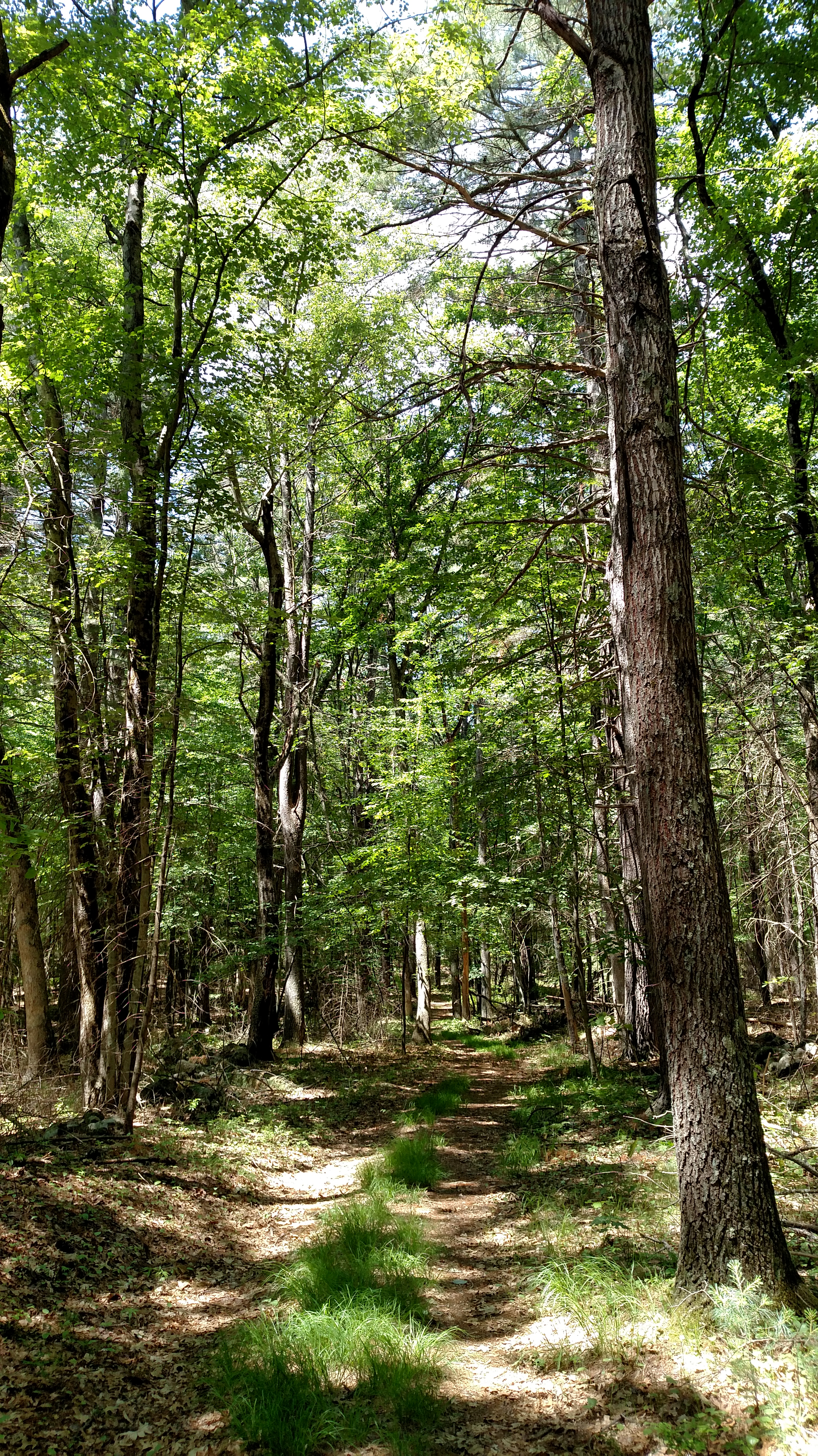
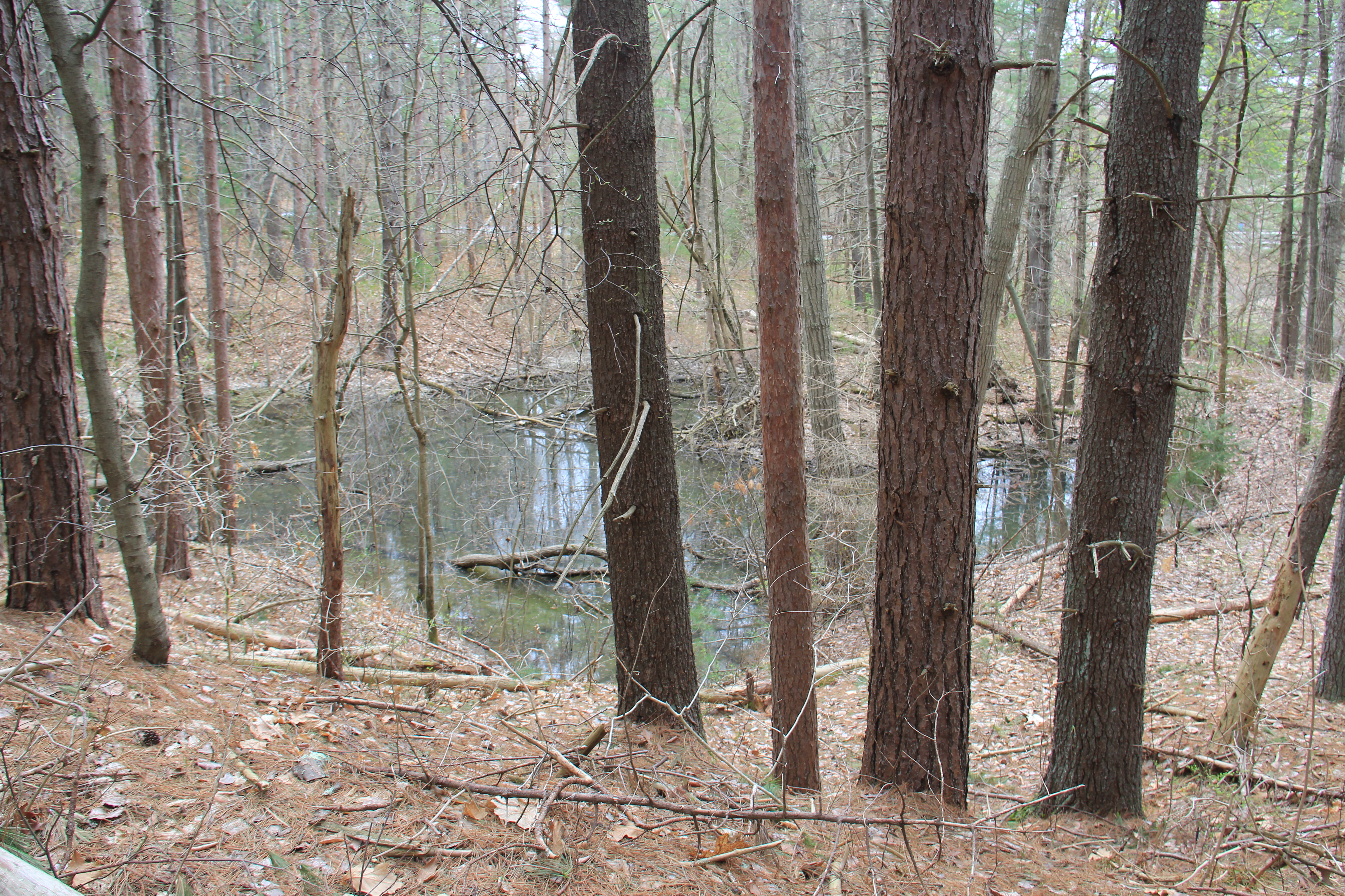
Additional Photos:
Project Thank You’s:
There are many individuals, committees, and organizations that contributed to the success and funding of this project. First and foremost, we’d like to acknowledge the Board of Water Commissioners for supporting the project from its earliest stages. The team of staff, consultants, attorneys, regulators, and other partners was invaluable in making this project a reality. We are thankful to the voters of Acton, as this project truly could not have taken place without your support and various voter approvals. We are grateful to the many Town staff, committee, and Select Board members that have collaborated with the District on this project over the years, from identifying the high ranking of the property by the Open Space Committee, to presenting the Community Preservation Act (CPA) funding request, to navigating the many competing wishes when developing the Conservation Restriction (CR). We’d also like to thank the Conservation Commission and the Sudbury Valley Trustees for co-holding the CR, helping ensure this open space is preserved while facilitating public access and fulfilling our mission to provide water to the community. Thank you to the Acton Conservation Trust (ACT), whose outreach efforts raised awareness of and helped garner support for this project. To ensure the preservation of the property, the ACT Board of Trustees also made a generous $10,000 gift for the CR acquisition. The work in the background on this and many other land protection projects in Acton is invaluable!
The District is immensely grateful to the Commonwealth’s Executive Office of Energy and Environmental Affairs (EEA), which awarded just over $2.0M of grant funding in support of this project. The District was awarded $0.5M from EEA’s Drinking Water Supply Protection grant program, while just over $1.5M was awarded by EEA’s Municipal Vulnerability Preparedness (MVP) Program as an Action Grant. This was the first year that special districts, like the Acton Water District, were eligible to apply for MVP grant funds. We are thankful to the Legislature and our local delegation for making this a viable funding option for this project. Together with the $1.0M contribution from the Town’s CPA fund, the ratepayers’ cost to permanently protect this land was significantly reduced while acknowledging the many benefits of this property.
The District would like to thank the Conant family for continuing to be a strong partner for open space and water supply development and protection through land transactions. By working with the community and offering a below market value sale of this property, it enabled the success of this project. And last but not least, the District would like to acknowledge Matthew Mostoller for his tireless efforts in seeing this project through from concept to completion! Complex projects require a dedicated champion and Matt rose to that role to enable the community to realize the many benefits of this unique partnership.